


|
Quick Jump:
|
 |
||||||||||||||||||||||||||||||||||||||
|
Regional METARs/TAFs | ||||||||||||||||||||||||||||||||||||||
|
|
||||||||||||||||||||||||||||||||||||||
|
Radars Top | Radars | Current Analysis | Forecasts | Lowest Freezing Level | Winds Aloft |
||||||||||||||||||||||||||||||||||||||
NWS Enhanced Radar
Image Loop Click Button Left |
|
|
Global Jet Stream 10 Day Forecast - Click Below for Animated Map
|
|||||||||||||||||||||||||||||||||||
|
|
||||||||||||||||||||||||||||||||||||||
|
Current Analysis Top | Radars | Current Analysis | Forecasts | Lowest Freezing Level | Winds Aloft |
||||||||||||||||||||||||||||||||||||||
Radar Summary |
Weather
Depiction |
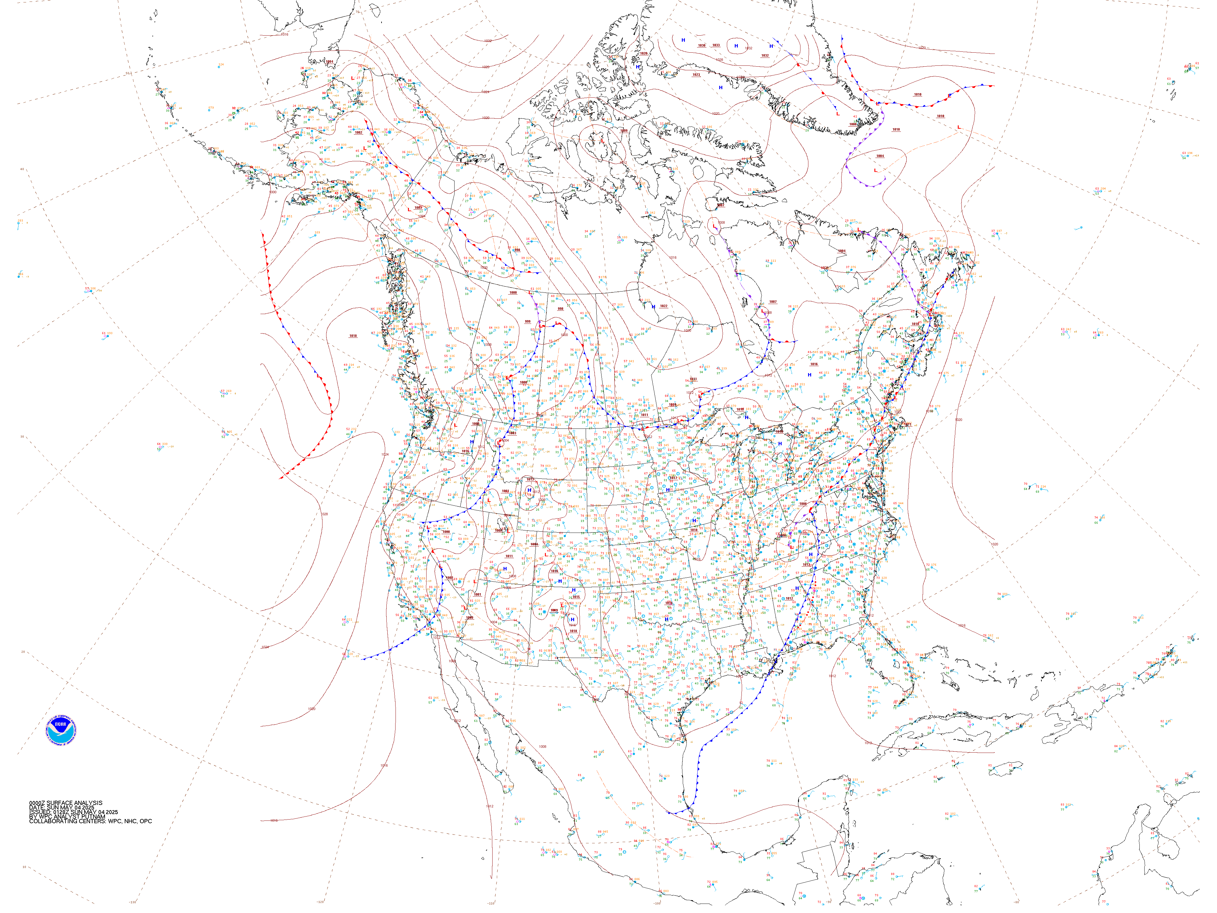
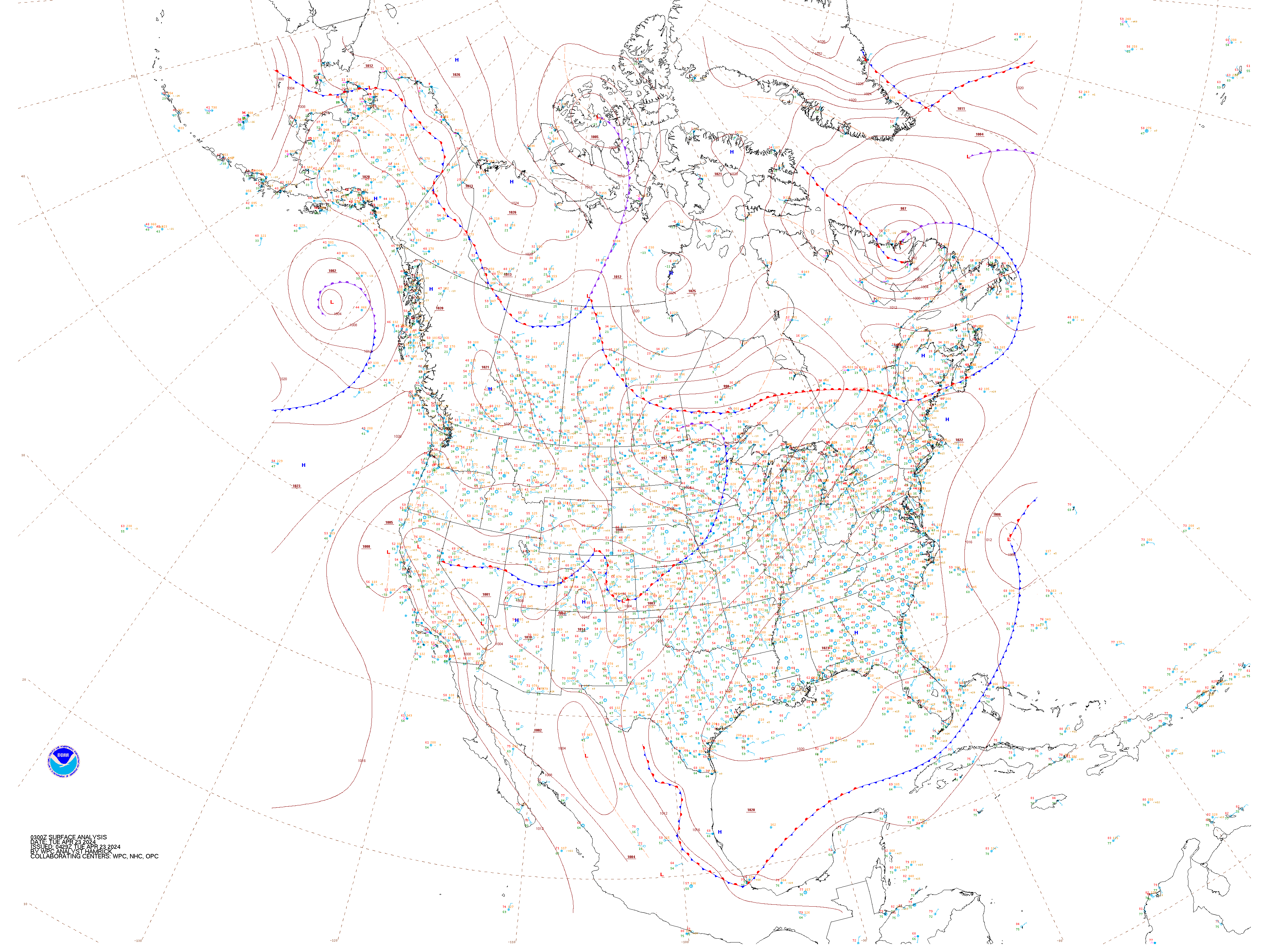
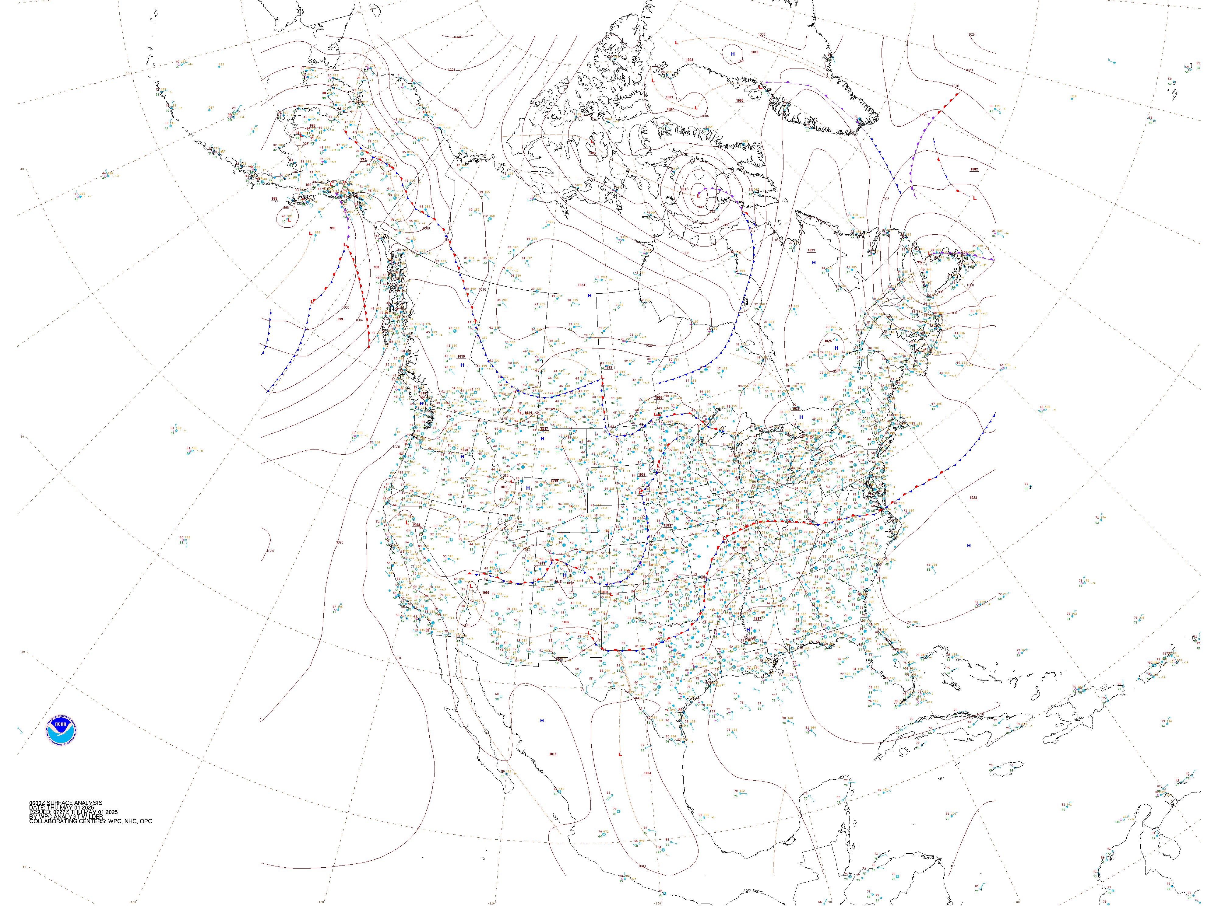
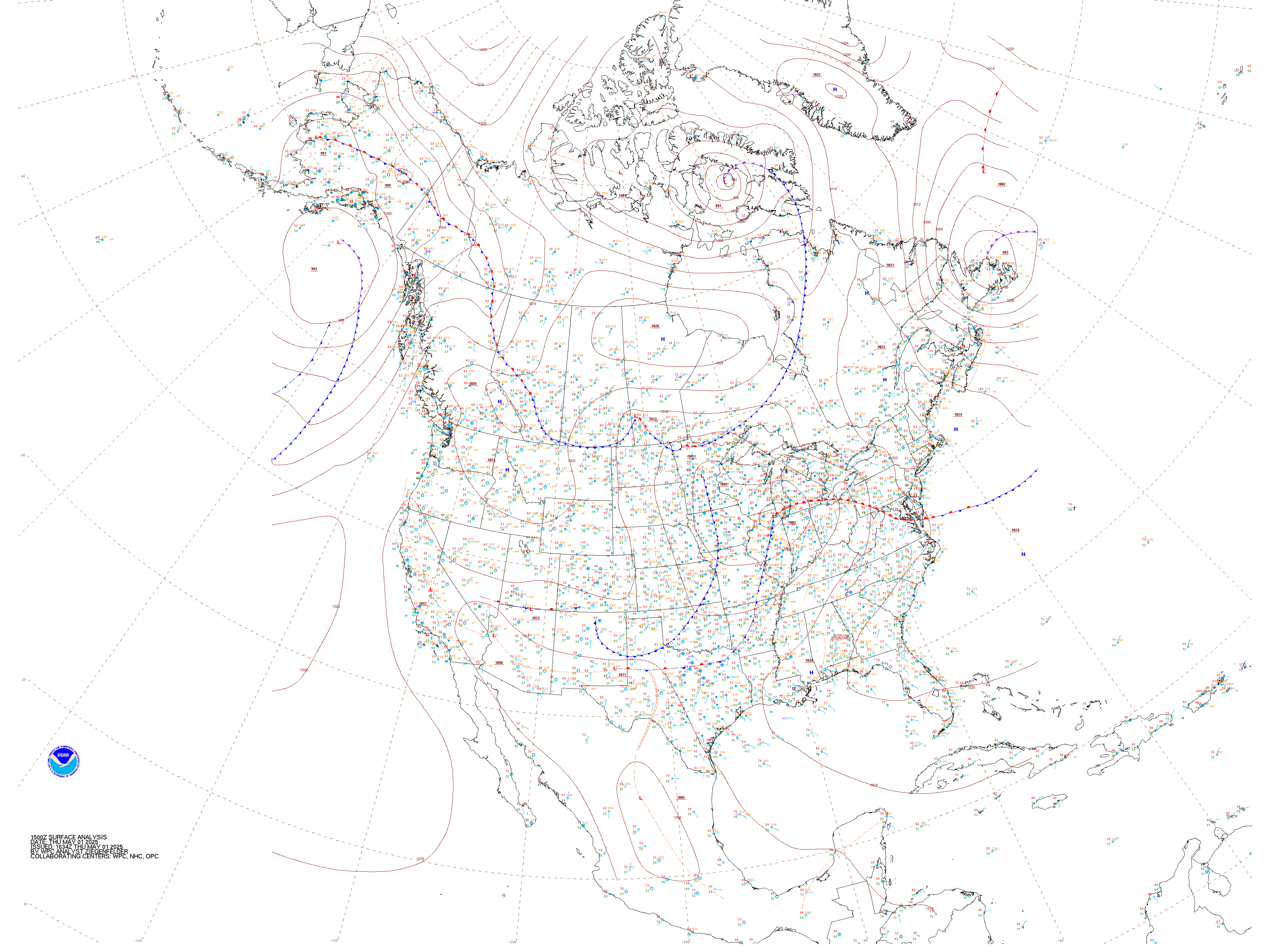
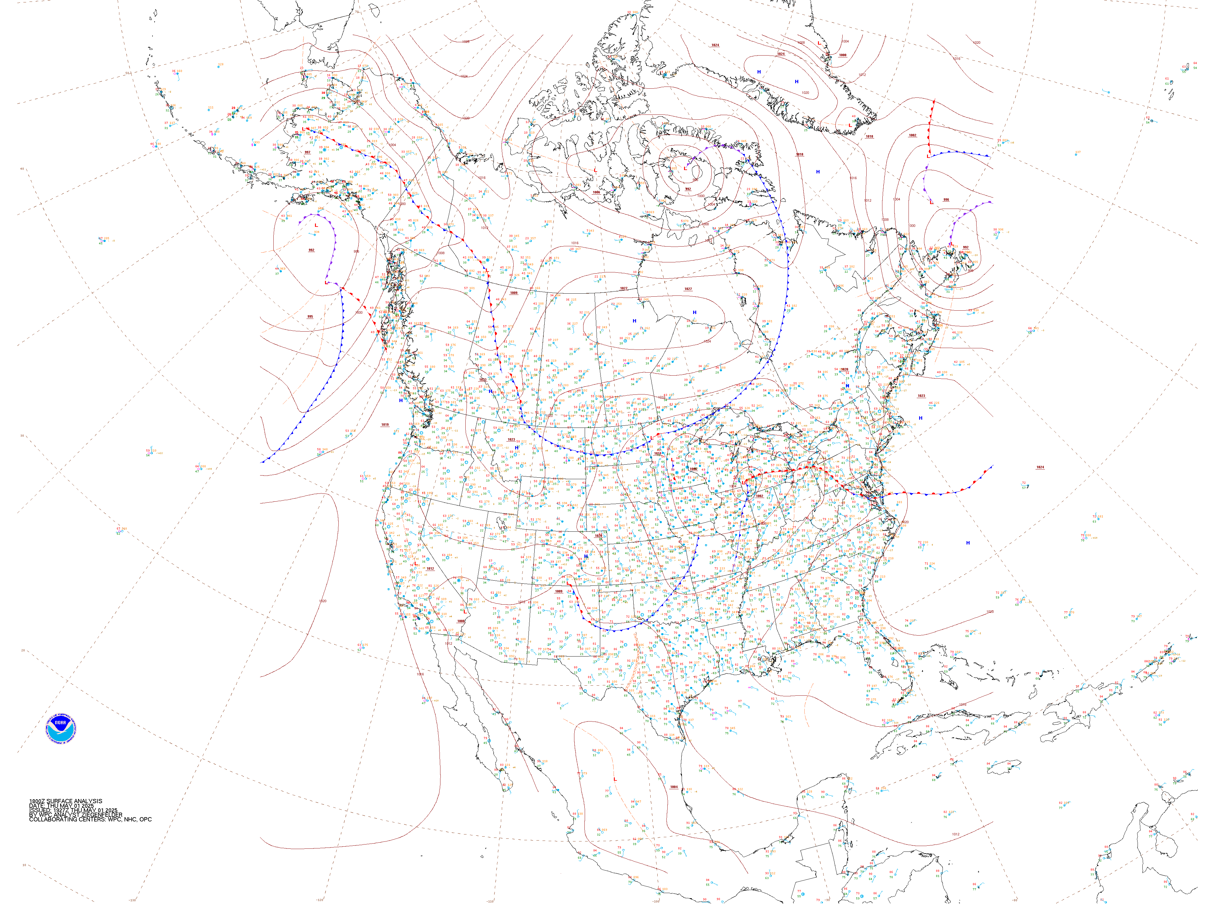
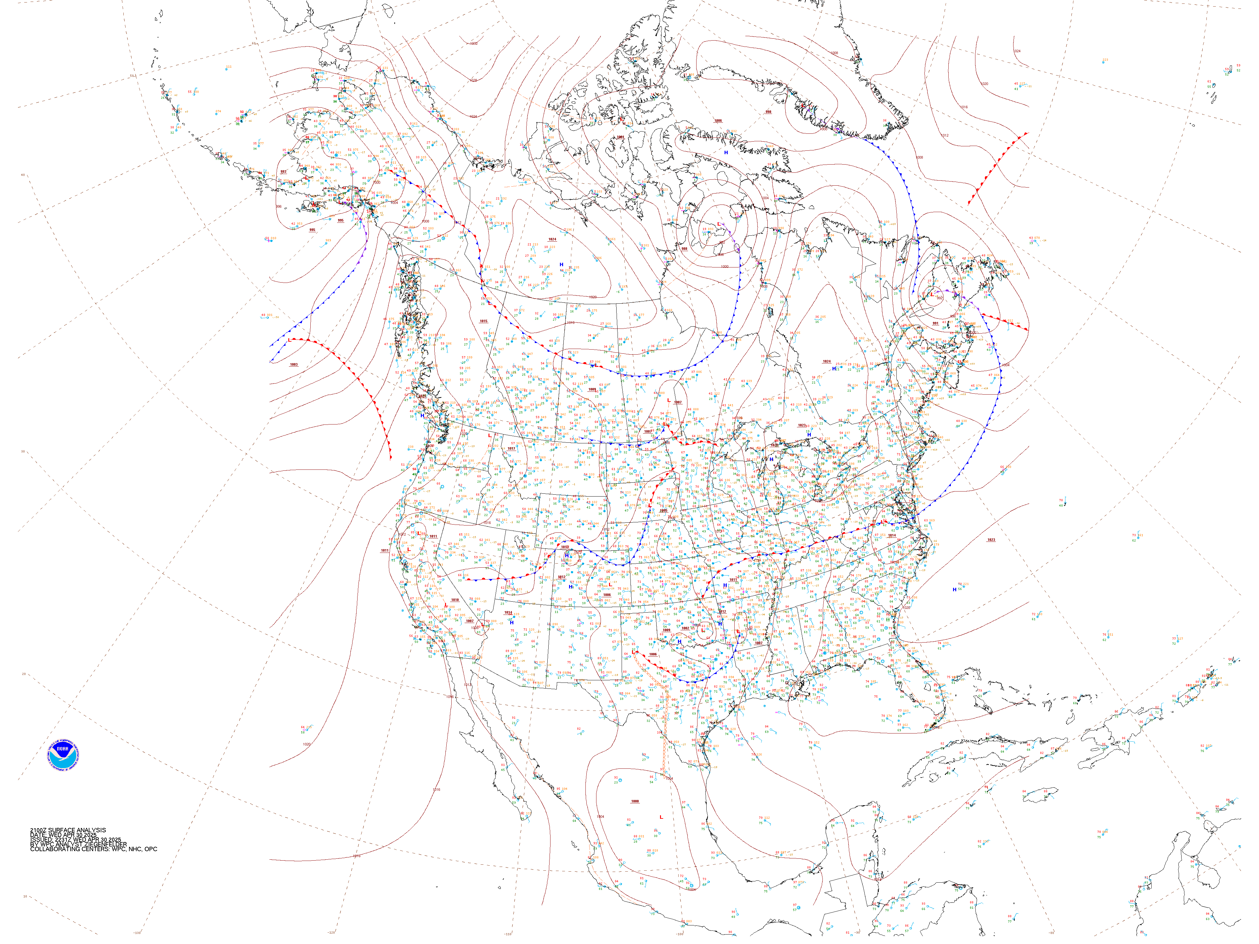
Current Surface Analysis Click to Enlarge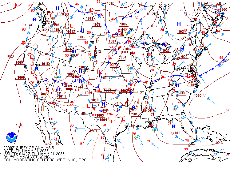 |
NOAA
Current |
|||||||||||||||||||||||||||||||||||
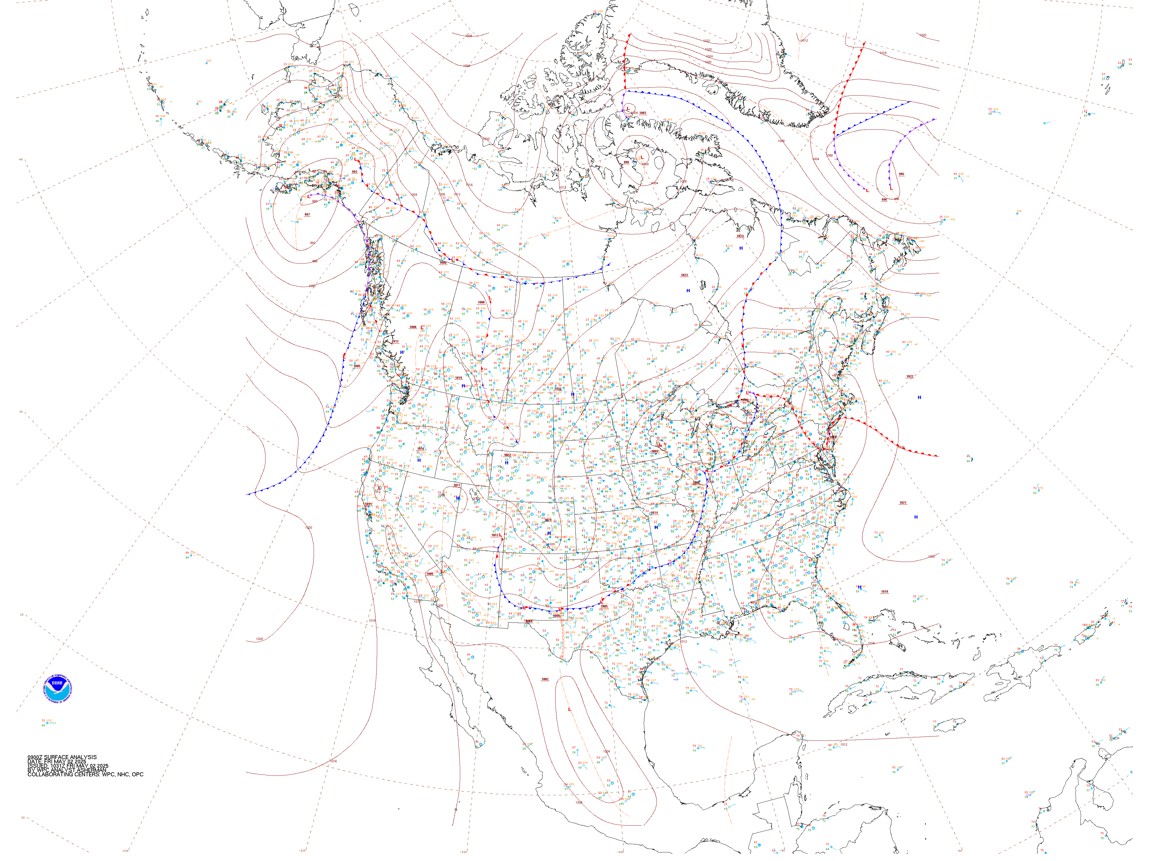
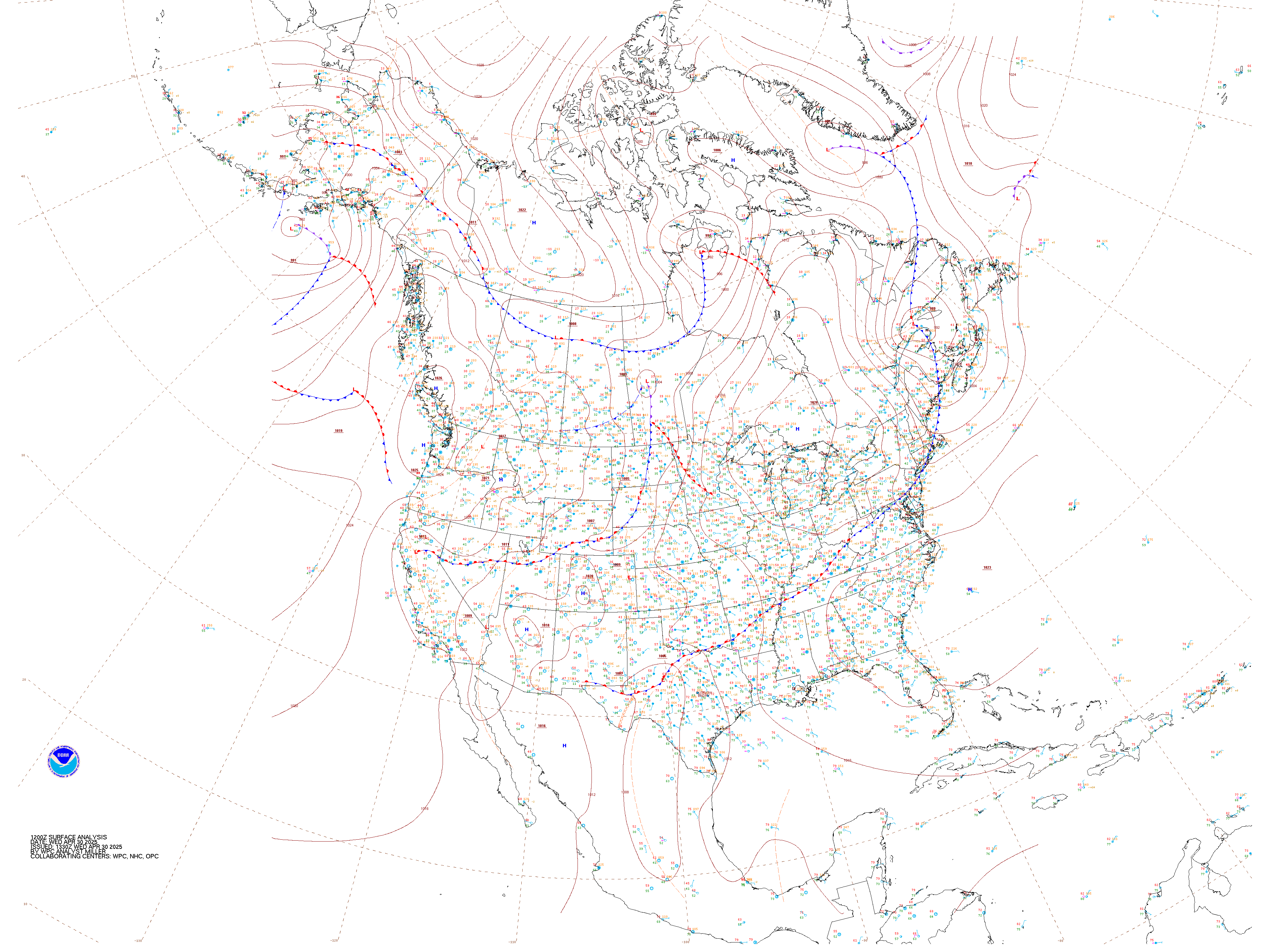
NWS Current Surface Analysis Click box below to open chart |
Surf Anlys w/radar
and IR |
Satellite / Turbulence / Coverage |
Wind
Gusts (Surface) |
|||||||||||||||||||||||||||||||||||
Icing AIR/SIGMETs |
Turbulence AIR/SIGMETs |
IFR/Mtn. Obscr.
AIR/SIGMETs |
Convective SIGMETs |
|||||||||||||||||||||||||||||||||||
| Unisys Current Weather Data - Left Panel: Current Surface Data - Right Panel: Current Enhanced IR - Clck on Panels to Open | ||||||||||||||||||||||||||||||||||||||
|
|
|
|||||||||||||||||||||||||||||||||||||
|
|
||||||||||||||||||||||||||||||||||||||
|
Forecasts Top | Radars | Current Analysis | Forecasts | Lowest Freezing Level | Winds Aloft |
||||||||||||||||||||||||||||||||||||||
|
||||||||||||||||||||||||||||||||||||||
NOAA
12-h |
NOAA
24-h |
NOAA
36-h |
NOAA
48-h |
|||||||||||||||||||||||||||||||||||
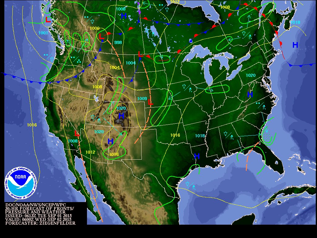
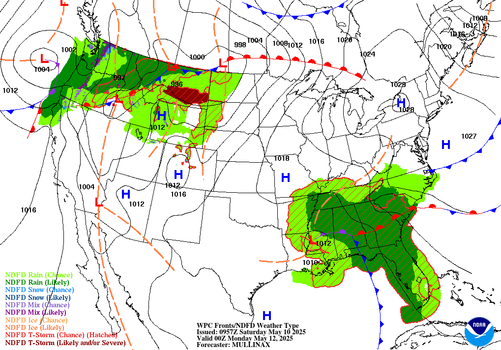
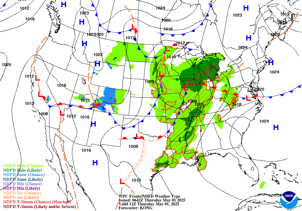
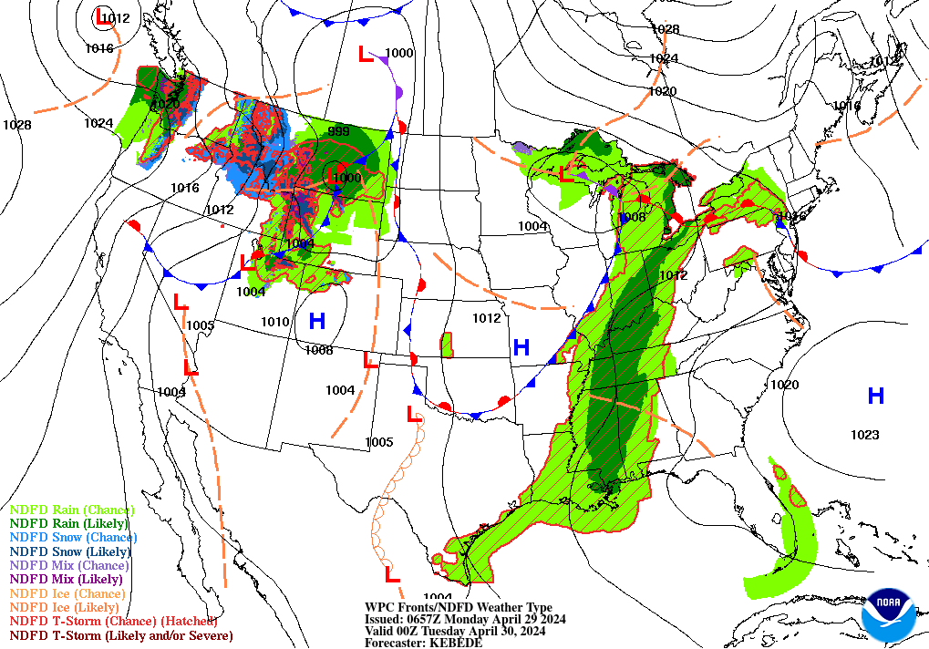
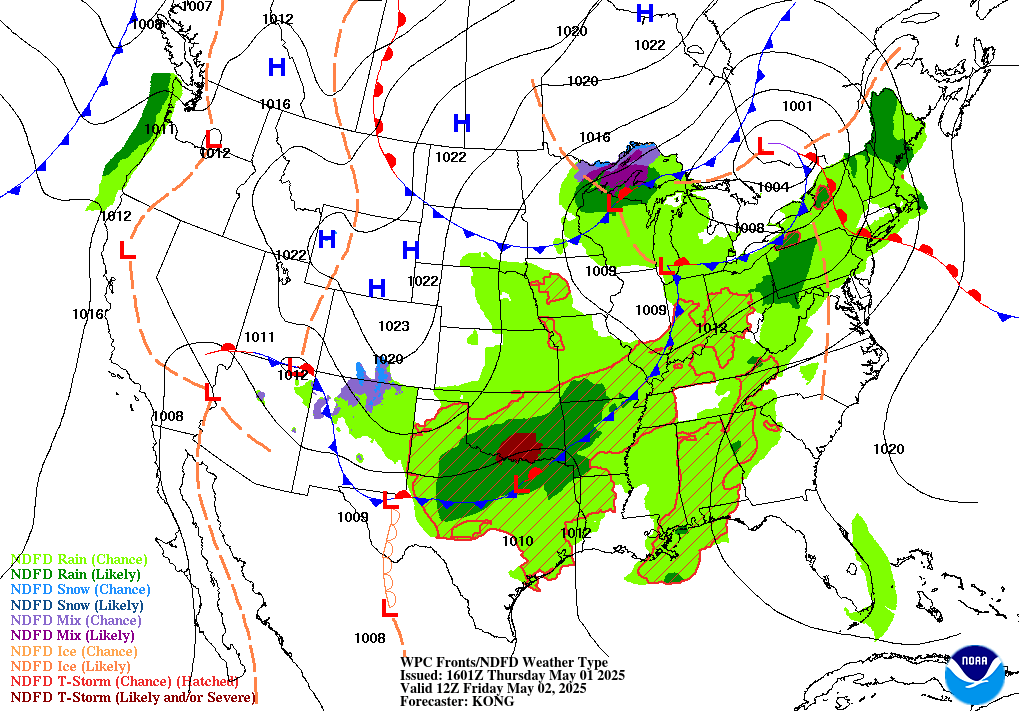
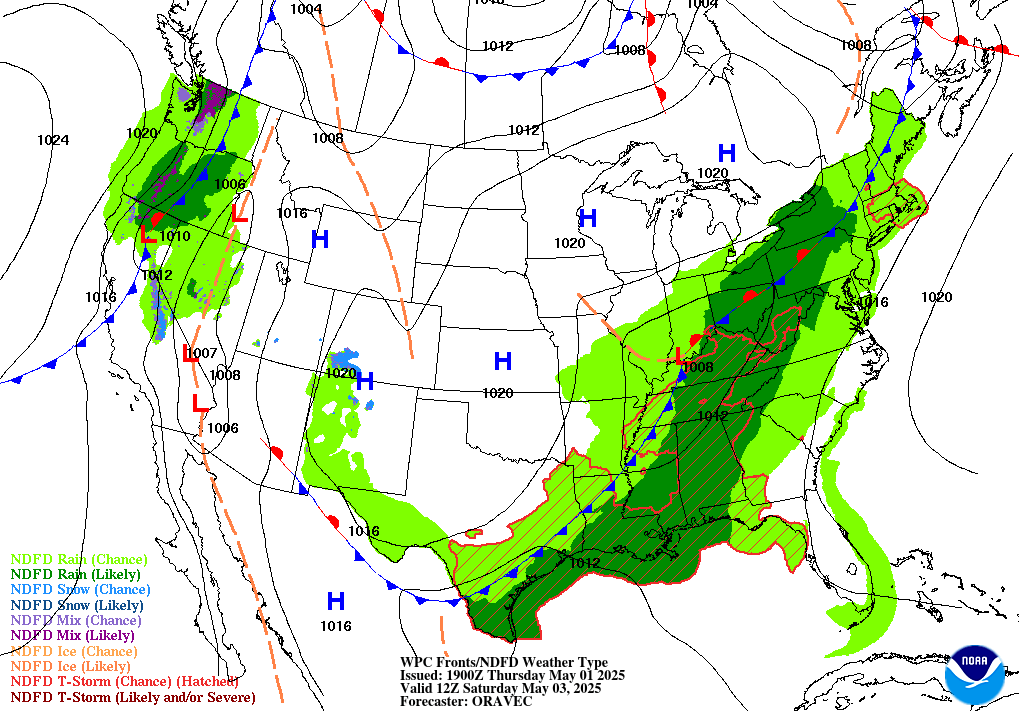
NWS SFC Prog 12 hr - Click Below |
NWS SFC Prog 24 hr - Click Below |
NWS SFC Prog 36 hr - Click Below |
NWS SFC Prog 48 hr - Click Below |
|||||||||||||||||||||||||||||||||||
|
TS Forecast 12 hr - Click Below |
Area Forecast (FA): Alaska Hawaii SFO DFW SLC CHI BOS GULF MIA CARIB |
|
||||||||||||||||||||||||||||||||||||
|
|
||||||||||||||||||||||||||||||||||||||
|
Lowest Freezing Level (legend) Top | Radars | Current Analysis | Forecasts | Lowest Freezing Level | Winds Aloft |
||||||||||||||||||||||||||||||||||||||
|
Current / Forecast Click Below |
| |
|
|
Winds / Temps Top | Radars | Current Analysis | Forecasts | Lowest Freezing Level | Winds Aloft
|
Current / Forecast Click Below
|
|
|
|
|
|
|
| ||||||||||||||||||||||||||


12hr forecast valid:
00 or 12z
|
06 or 18z
24hr
forecast valid:
00 or 12z
|
06 or 18z
36hr forcast valid
00 or 12z
48hr
forcast valid
00 or 12z
Convective Outlook
JAVA Tools:
AIR/SIGMET,
METAR,
TAF,
NCWF,
PIREPs